National Weather Service United States Department of Commerce
*Click on the map to display the ECCDA Forecast Summaries
 

Note: The map will display the detailed hazards area of Red Flag Warnings (pink) and Fire Weather Watches (peach) which may include all or portions of a NWS Fire Weather Zone.

Please consult the latest NWS Fire Weather Planning Forecasts and Red Flag Warning and Fire Weather Watches for the latest information 24 hours a day.

Current Red Flag Warning And Fire Weather Forecast

** Click on the link below to display current Red Flag Warning or Fire Weather Forecast product.
** Click on the WFO Office to go the individual Fire Weather page.
Weather
Forecast
Office
Red Flag
Warning
Fire Weather
Forecast
Area Forecast
Discussion
All
Warnings
Fire Danger
Indices
Weather Activity
Planner
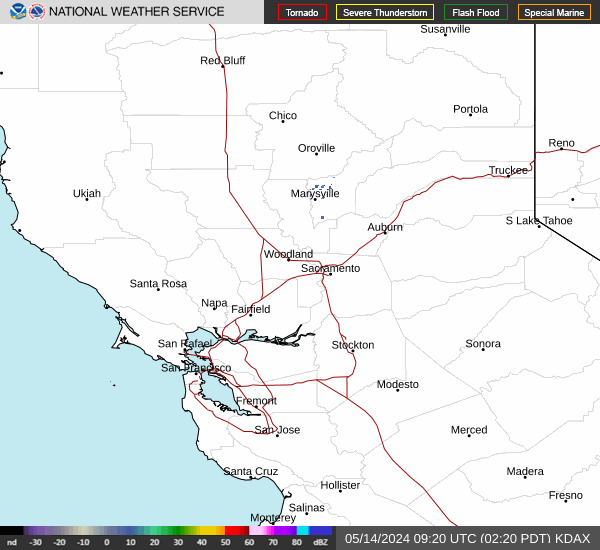
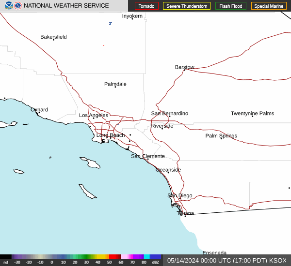
** Position cursor over link to view thumbnail images of base reflectivity, or select link to view individual radar imagery.
Northern California Radar Sites Link to Pacific NW Radar Loop
Radar Status Message
Eureka Eureka
Medford Medford
Reno Reno
Beale AFB Beale AFB
Sacramento Sacramento
San Francisco San Francisco
San Joaquin Valley San Joaquin Valley


Southern California Radar Sites Link to Pacific SW Radar Loop
Radar Status Message
Edwards AFB Edwards AFB
Las Vegas Las Vegas
Santa Ana Mountains Santa Ana Mountains
San Diego San Diego
Vandenberg AFB Vandenberg AFB
Sulphur Mountain Sulphur Mountain
Yuma Yuma